 Image 1 of 3
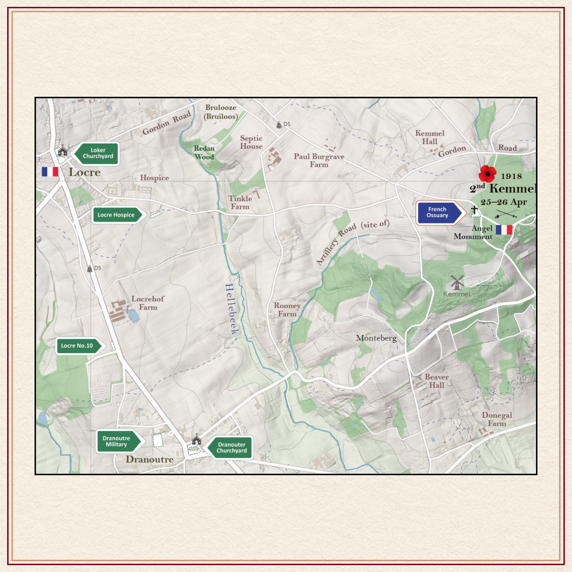 Image 2 of 3
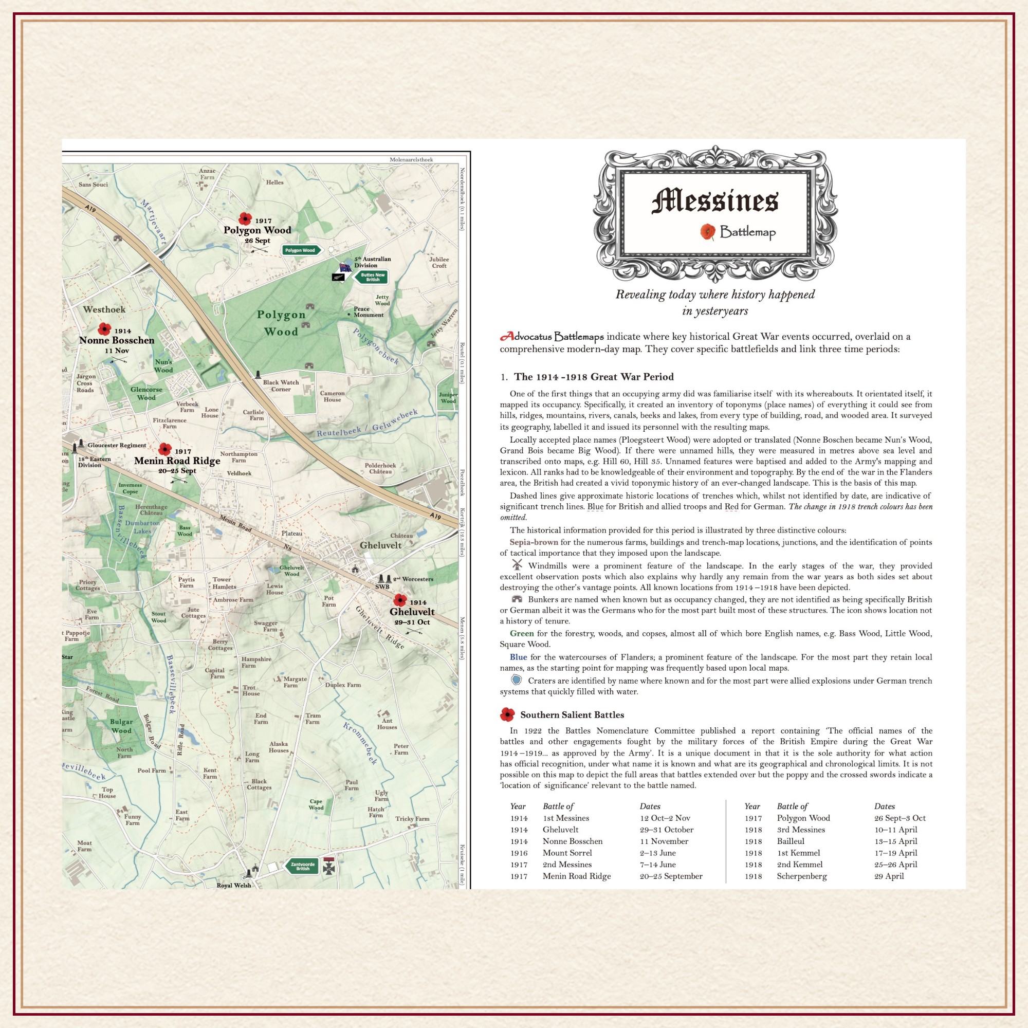 Image 3 of 3
Description: Large AO size folded to A4 carrying size.
AO size = 841 × 1189 mm or 33.1’’ x 46.8’’
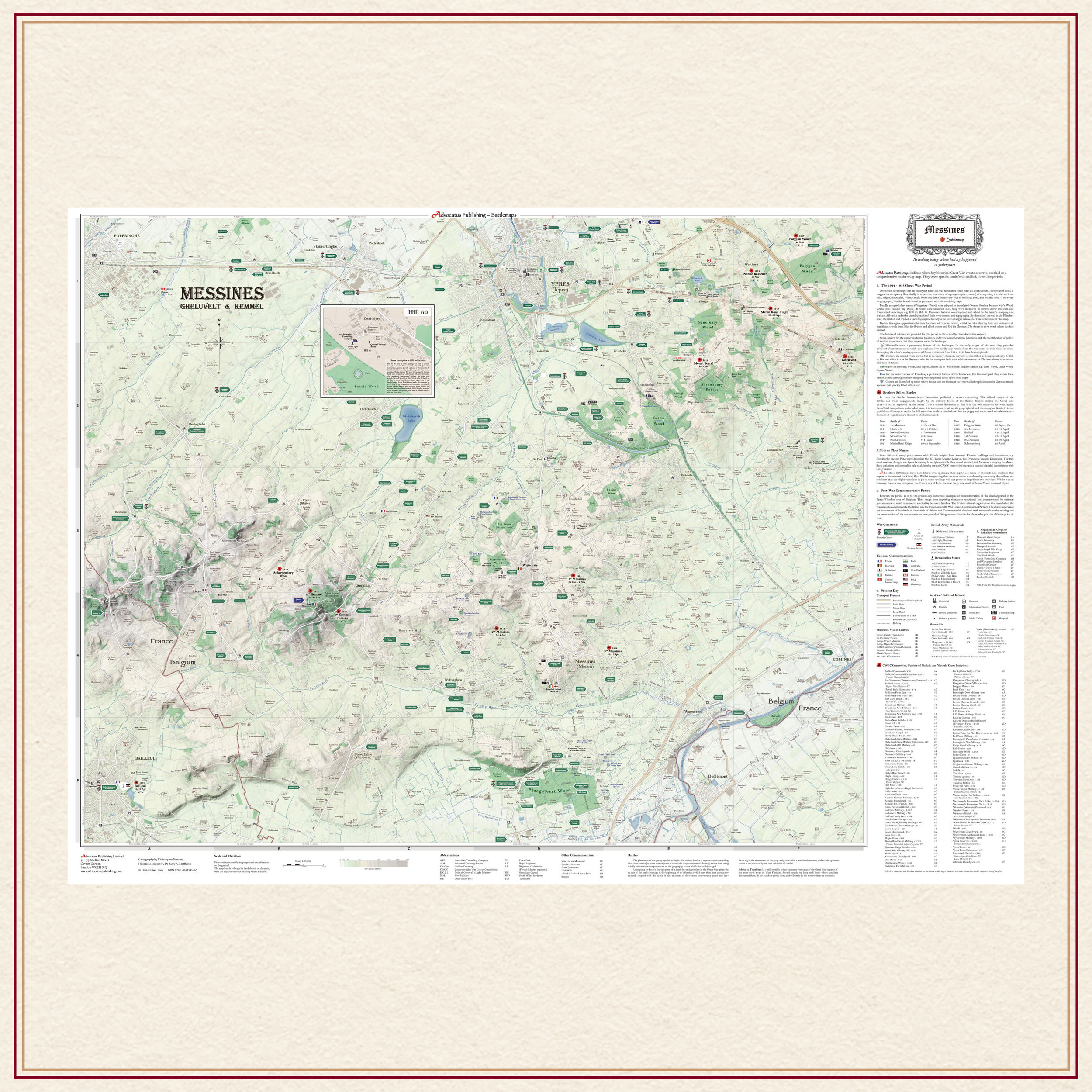
Comprehensive, full colour, navigable road map of the Messines battlefield, scale 1:20,000, showing Ypres, Gheluvelt, Kemmel, Bailleul and Warneton.
A feature of Advocatus Battlemaps is that they incorporate and overlay three time periods: the historical period of 1914 – 1918, the period of commemoration, 1919 to 2022 and the present-day topographical road and mapping features.
Map includes:
109 cemeteries with burial numbers and VC holders buried within:
Every battle fought within the compass of the map
Demarcation stone locations
Burial sites of VC holder
Preserved trench lines
1914 – 1918 location names sourced from original trench maps
Names of all rivers, lakes, canals and beeks
Divisional monuments
Regt., battalion, and unit memorials
Museums
Trench map named topographical features e.g. hills, ridges, woods
Memorials to the Missin
French burial sites
Allied memorials; ANZAC, Indian, Canadian
Off-map road distances
Significant opposing front line trenches
Bunkers
Places of worship
Hospital locations
Coach and car parking & Toilet Facilities.
~/~
Available immediately at £23 and includes postage.
This price is for an AO size map (33.1” x 46.8”) folded map.
For a rolled map presented in a tube of triangular design price is £27 and includes postage.
~/~
For special requests or orders outside the UK please contact us by clicking on the button below.