 Image 1 of 4
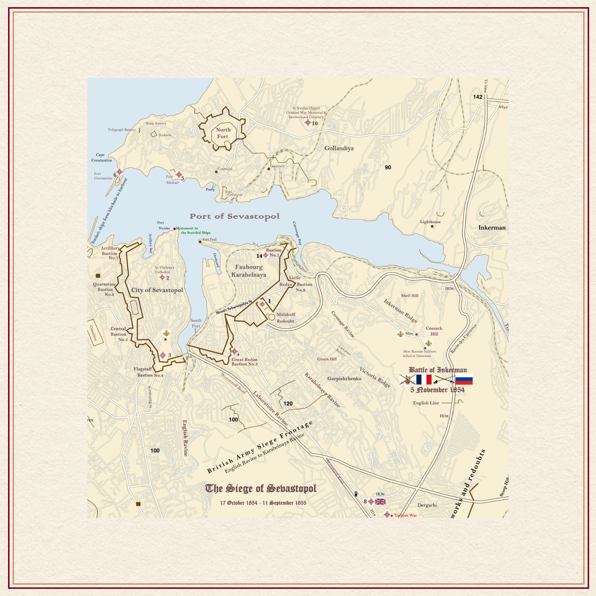 Image 2 of 4
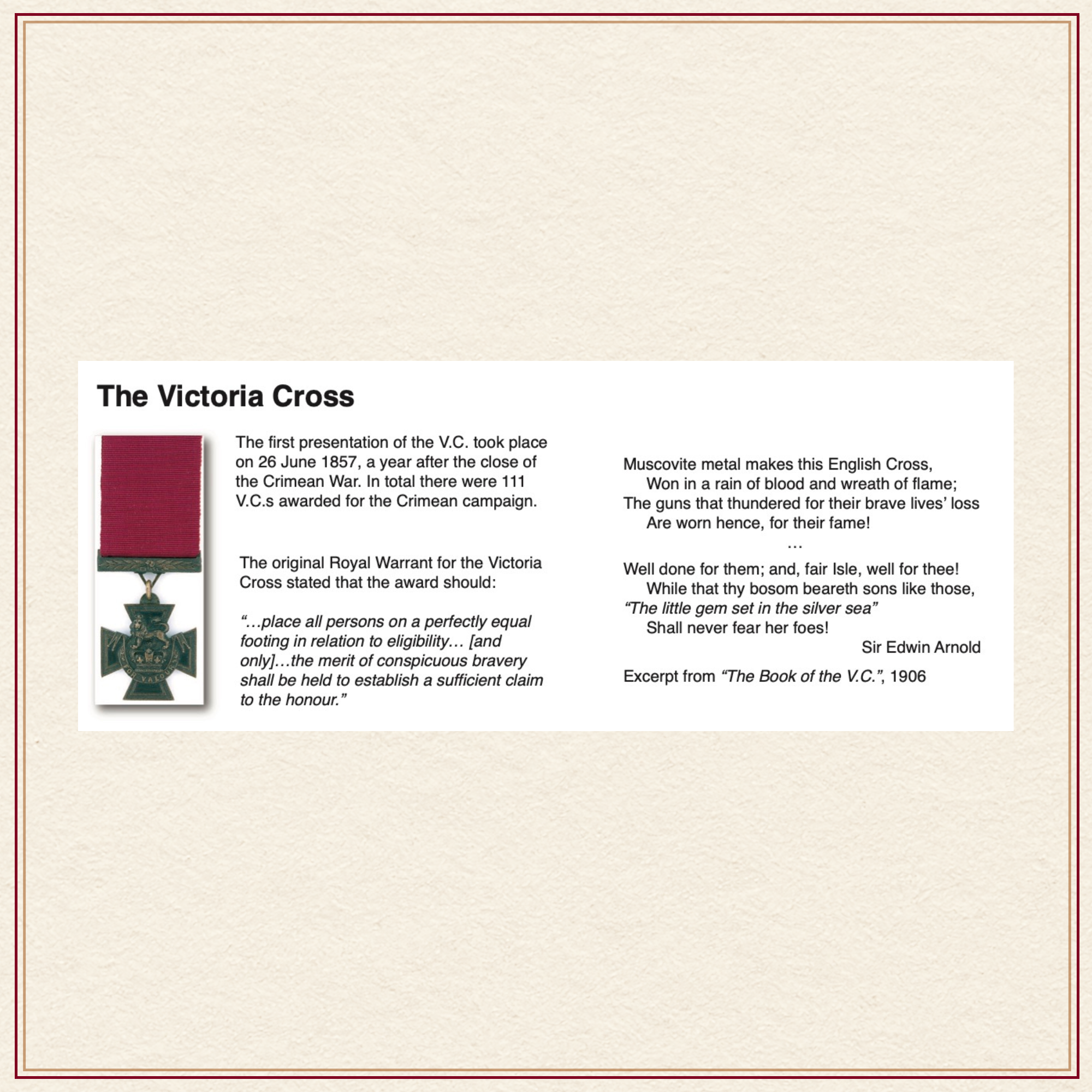 Image 3 of 4
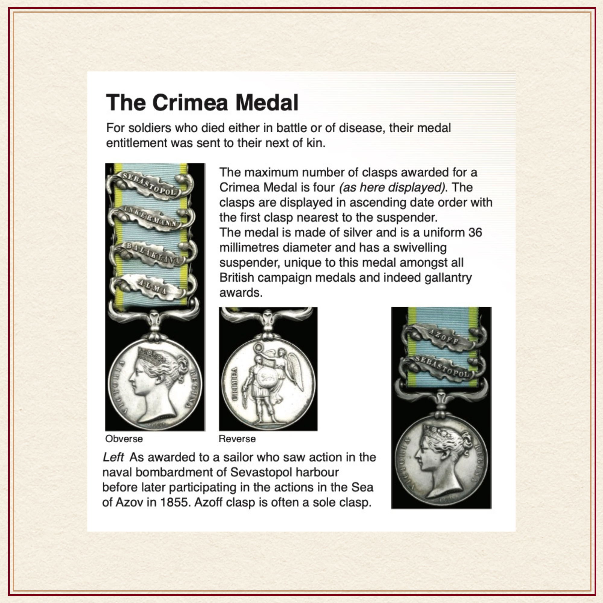 Image 4 of 4
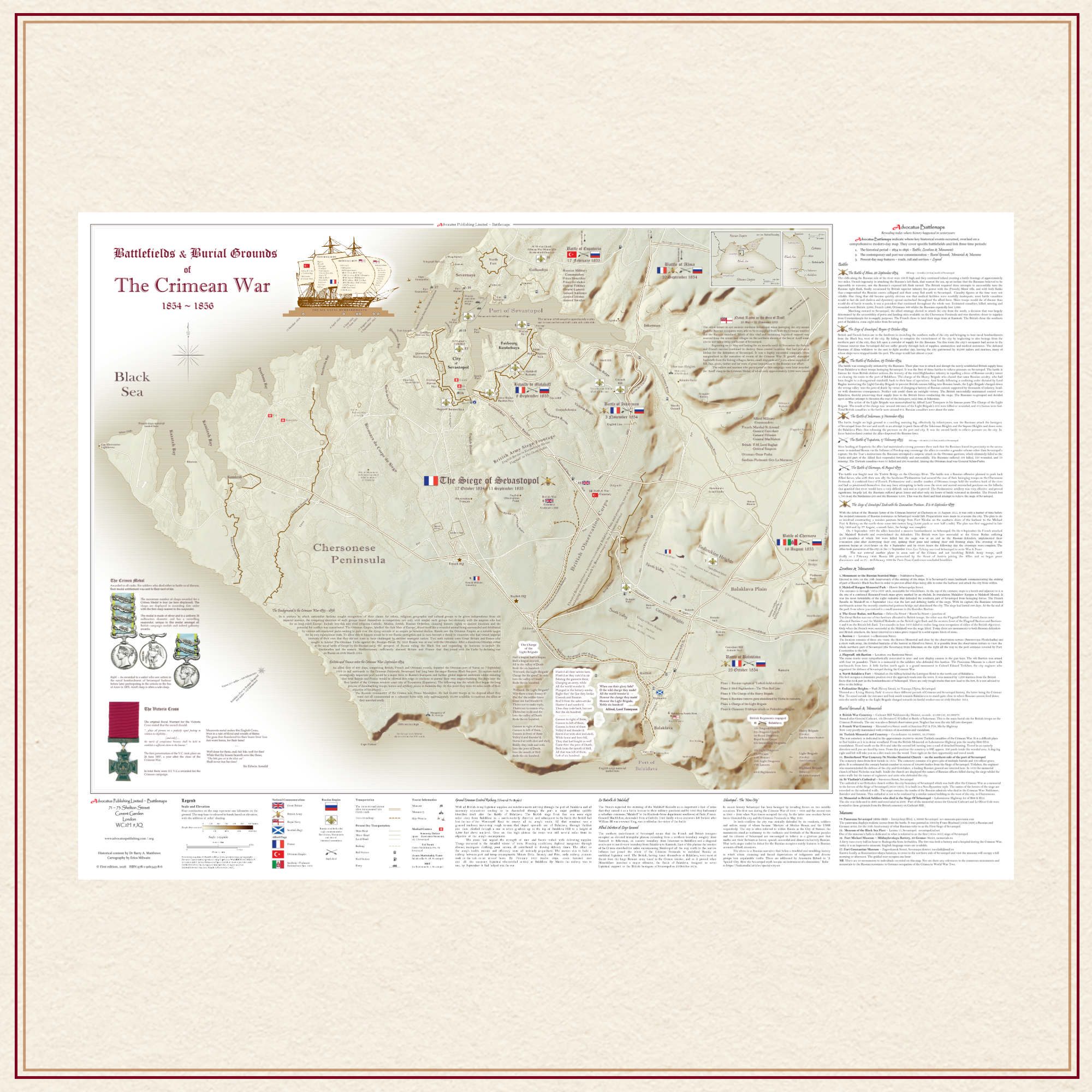
Description: Large AO size rolled for framing & presented in tube.
AO size = 1189 mm x 841 mm or 46.8 inches x 33.1 inches
Comprehensive, full colour, navigable road map of the Crimean Peninsula, scale 1:20,000.
A feature of Advocatus Battlemaps is that they incorporate and overlay three time periods: the historical period; here 1854 – 1856, the period of commemoration, 1856 to the 20th Century and the present-day topographical road and mapping features.
The map includes the following Allied cemeteries of Great Britain, France and Turkey.
Map includes:
Details of every battle fought within the compass of the map
Reference to off-map battles including those in the Sea of Azoff
Sites of British and French contemporary monuments
Russian museums
Significant opposing front line defences and trench lines at Sevastopol
Details of Battle of Balaclava and its six stages
Detail of the Charge of the Light Brigade
Notes on The Crimean War medal
Notes on VC Medal
Details of the six naval bombardments of Sevastopol with vessel names
List of Allied Commanders
List of Russian Commanders
Present-day Places of worship
Present-day Hospital locations
Coach and car parking
Railway routes
Ferry routes
~/~
Available immediately at £33 and includes postage.
This price is for an AO size map (33.1” x 46.8”).
For a rolled map presented in a tube of triangular design price is £27 and includes postage.
~/~
For special requests or orders outside the UK please contact us by clicking on the button below.