 Image 1 of 2
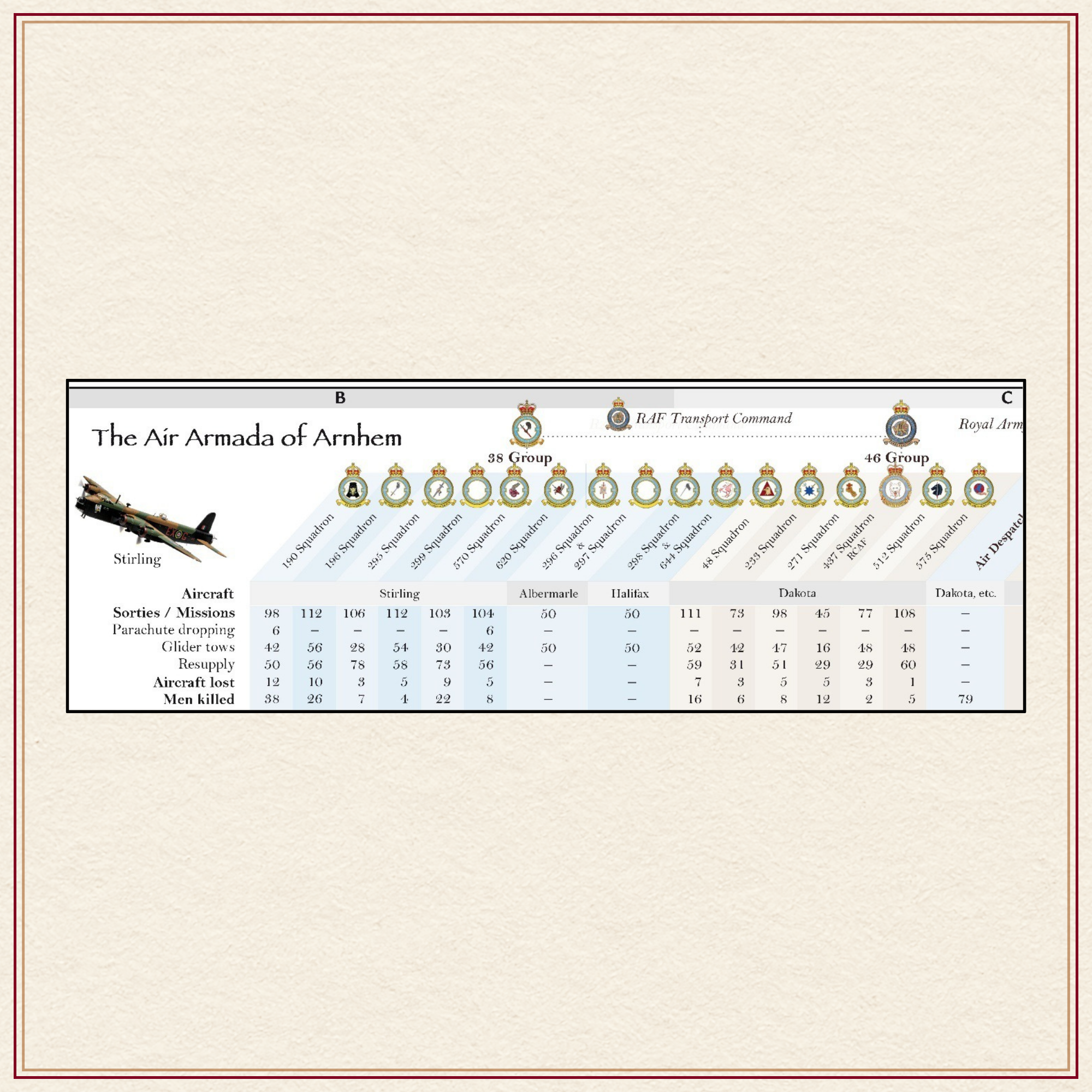 Image 2 of 2
Description: Large AO size folded to A4 carrying size.
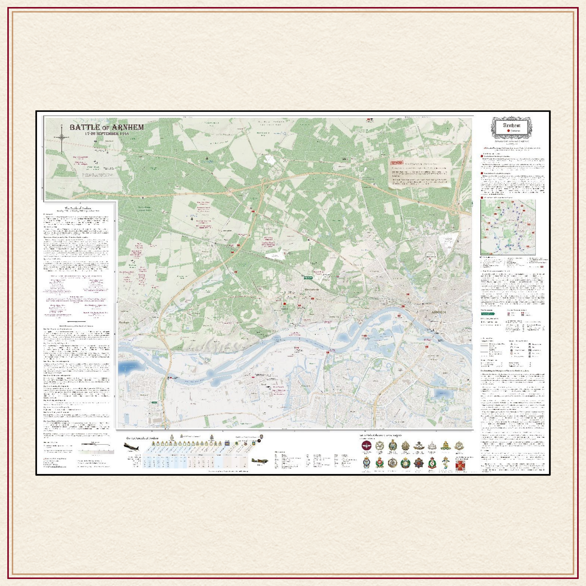
Comprehensive, full colour, navigable road map of the Renkum, Wolfheze, Oosterbeek, Arnhem and Driel battlefield, scale 1:20,000.
A feature of Advocatus Battlemaps is that they incorporate and overlay three time periods: the historical period of 1944, the period of commemoration, 1944 to 2025 and the present-day topographical road and mapping features.
Map includes:
The overview of the Plan of Operation Market Garden
The First Airborne Order of Battle
Key German troop dispositions located
A Chronology of the Nine Days of Battle
Detailed statistics of the Air Armada contribution of 28 & 46 Groups & 52nd Troop Carrier Wing
The major actions fought within the compass of the map
Detailed defensive positions adopted within ‘Das Cauldron’
Sites of VC actions
Comprehensive list of all Airborne units that fought at Arnhem
Benchmarking Principles of War to the conduct of the battle
Divisional monuments
Regt., battalion, and unit memorials
Museums
Off-map locations
Bunkers
Places of worship
Hospital locations
Coach and car parking
Toilet facilities
~/~
Available immediately at £23 and includes postage.
This price is for an AO size map (33.1” x 46.8”) folded map.
For a rolled map presented in a tube of triangular design price is £27 and includes postage.
~/~
For special requests or orders outside the UK please contact us by clicking on the button below.