 Image 1 of 3
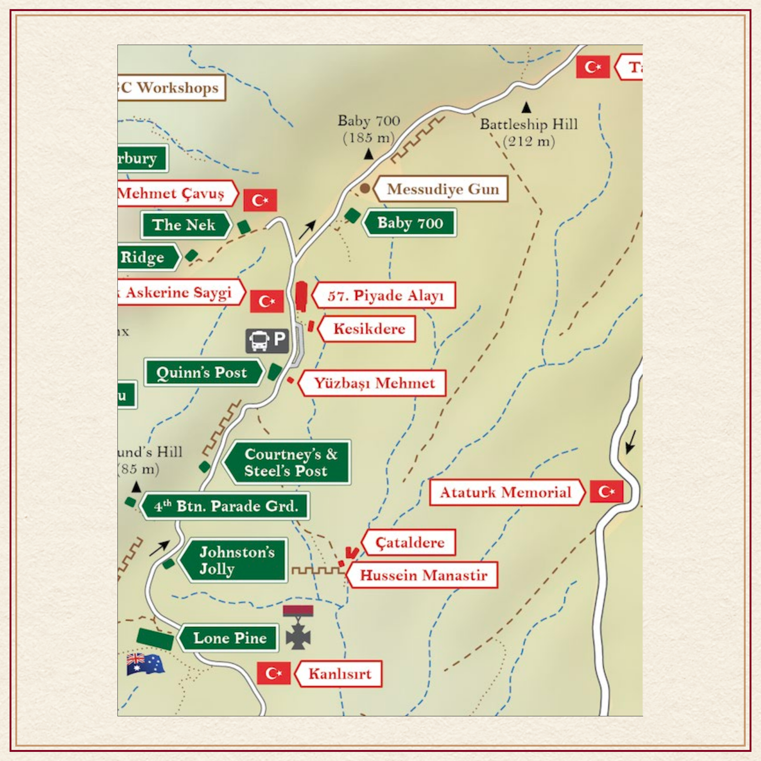 Image 2 of 3
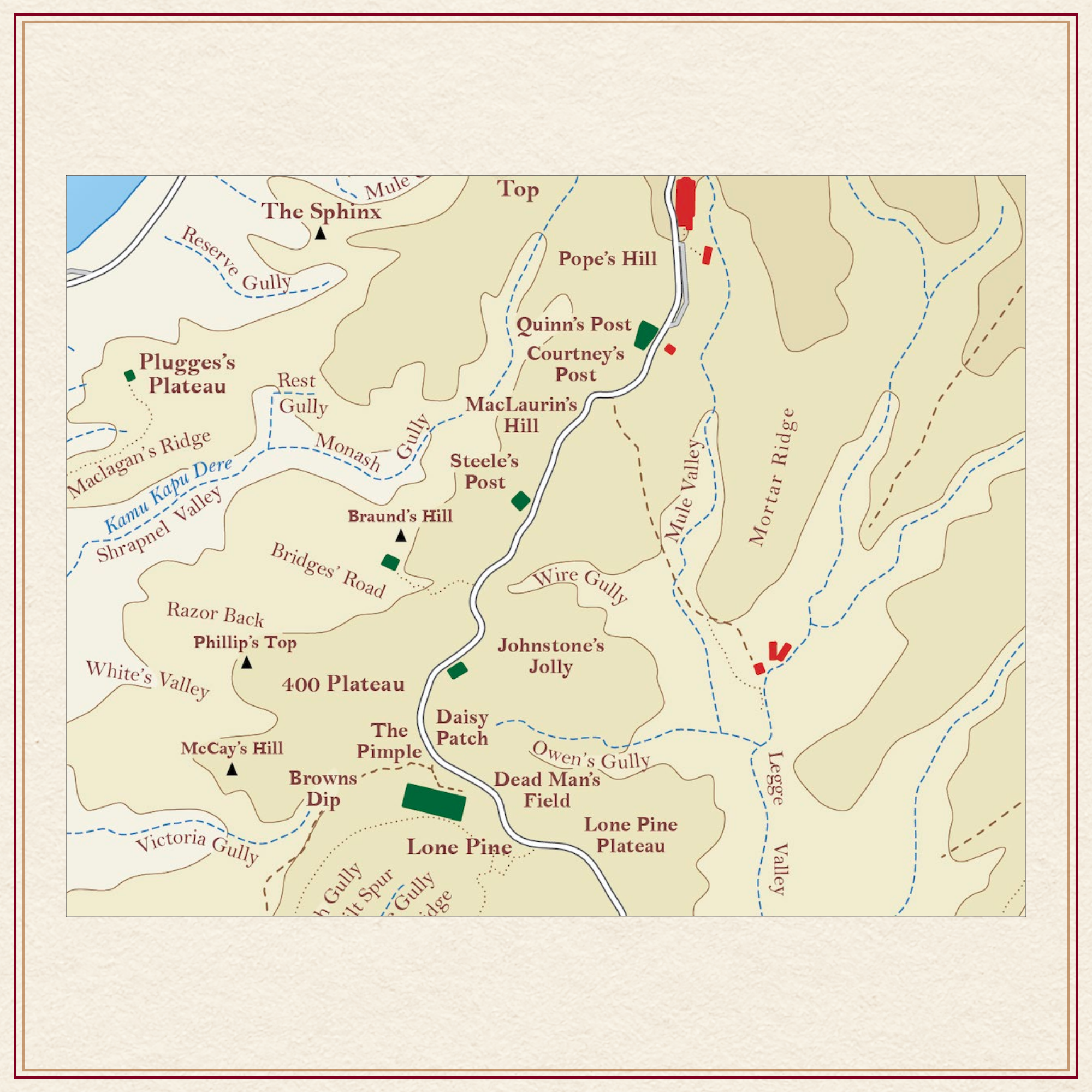 Image 3 of 3
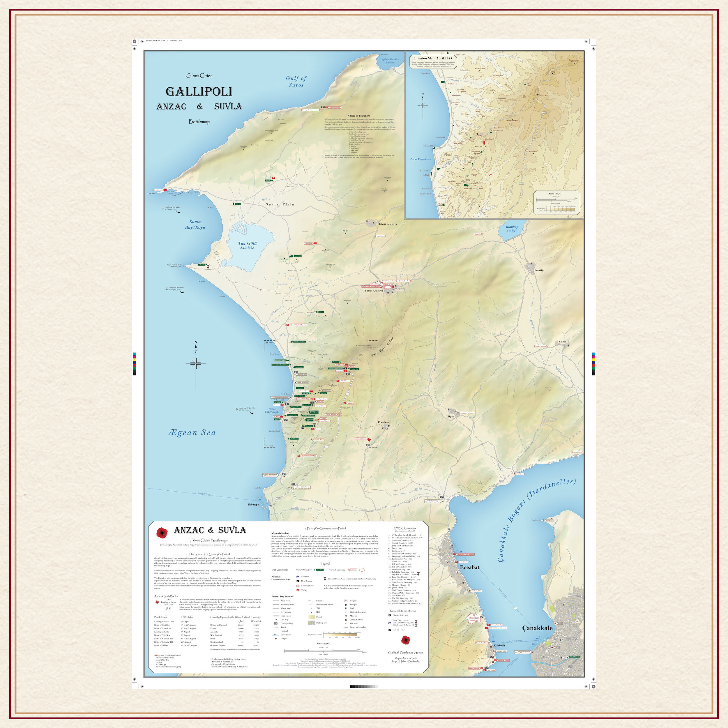
Description: Large AO size folded to A4 carrying size.
Comprehensive, full colour, navigable road map of the Anzac & Suvla sectors of the Gallipoli Peninsula, scale 1:22,000, incorporating a detailed April 1915 Invasion Map of the Anzac sector of the Gallipoli battlefield scale 1:14,000.
Includes Cannakale, Eceabat, Hill 971 to the northernmost war cemetery, Azmak, listing the 26 CWGC war cemeteries with casualty figures, VC burials, all Turkish cemeteries and memorials, listing the 8 Official Battles fought in these sectors plus footpaths, tracks, trenches, ferry routes, museums, fuel stations, mosques, hospitals, parking locations.
Cartographer Biopic:
The cartographer has over twenty years’ experience in map-making. She holds a B.A. (Hons) Degree in Geography from Manchester University and a Diploma in Cartography from the University of Glasgow.
~/~
Available immediately at £23 including postage.
This price is for an AO size map (33.1” x 46.8”) folded map.
For a rolled map presented in a tube of triangular design price is £27 and includes postage.
~/~
For special requests or orders outside the UK please contact us by clicking on the button below.